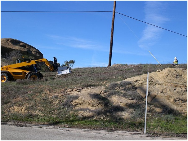
When evaluating a contaminated site, the extent and spread of contaminants is often very difficult to analyse and comprehend, leading to underestimates. Incomplete analysis leads to inappropriate action and remediation measures, which in turn contribute to cost overruns and remediation targets that, in practice, cannot be achieved.
Site contamination presents many contingencies due to the heterogeneous nature of soil and subsurface infrastructures; however, by using multiple tools to produce a more holistic analysis, a much more thorough understanding of site contamination can be attained.
Three-dimensional perspectives
Traditionally-used techniques for interpreting groundwater and soil contamination view the problem in only one dimension, plotting contour estimates of contamination values at different depths. This overlooks the relationships between the different layers, with the result that threshold values of contaminants such as chlorinated solvents or hydrocarbons can only be estimates.
More modern techniques take advantage of computer software working in all three dimensions to produce digitised visualisations showing pollutant distribution and concentration across an array of different measuring points – usually either boreholes or monitoring wells. The data from these cross-sections is then combined into an overall conceptual site model. This visual aid helps to create much more detailed insights and overviews into the extent of land remediation work required.
Groundwater flows
In most instances, the direction of groundwater flow matches the flow of pollutants; however, this requires verification to ensure that the most efficient remediation plan, such as those carried out by http://www.ashremediation.co.uk/, is put into action. Groundwater head data is acquired from monitoring wells and this dataset is then interpolated by Gaussian process regression – a type of statistical analysis – to generate reliable estimates of groundwater flow directions for every groundwater aquifer contained within the site.
Soil composition
The final piece in the puzzle of a holistic picture of site contamination is the composition of the soil. Boreholes are used to obtain data on soil composition, unearthing any heterogeneities, such as permeability and thickness, that may affect contamination. The information is again fed into a software package that uses it to produce a 3D visualisation illustrating denser and more permeable areas of soil strata using colour gradients.
This information is then combined with what has already been discovered about groundwater flows and contamination densities to create a complete picture of site contamination.